Chinese Survey Ship Mapping Seabed In Eastern Indian Ocean

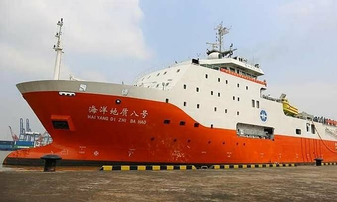
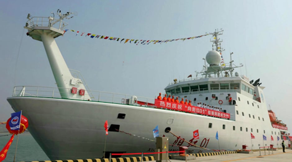
A Chinese government survey ship, the Xiang Yang Hong 03, is currently operating in the Indian Ocean and carrying out a search pattern west of Sumatra, the latest satellite and open source intelligence (OSINT) has revealed.
This same vessel was last week accused of ‘running dark’, i.e., operating without broadcasting its position, in Indonesian territorial waters.
China’s Xiang Yang Hong survey ships are suspected of operating underwater gliders in the Indian Ocean to map the sea bed.
“The suspicion is that, as well as conducting civilian research, these ships may be gathering information for naval planners — currents, bathymetry, salinity of the water — which are all relevant to submarine warfare,” H.I. Sutton, defence and OSINT analyst said. He added that hydrographic data is civilian-defence agnostic, which means that it can be used for both civilian and military purposes.
“The eastern Indian Ocean is likely to be of particular interest to the Chinese Navy as they expand their submarine capabilities. The data from these surveys may help submarines navigate, or improve their chances of remaining undetected,” Sutton said.

What China Could Be Up To
In an article published on NavalNews, Sutton wrote that some of the survey activities, nearer to Indonesia and the Andaman and Nicobar islands, could relate to finding the US Navy’s reputed ‘fish hook’ sensor networks.
“These are designed to track Chinese submarines entering the Indian Ocean. Naturally this cannot be confirmed,” he said.
In November 2020 reported that two Chinese research and survey vessels in Sri Lankan waters had caught the attention of the Indian Navy, which sees them as possibly being part of a larger ploy to gather data.
#Breaking #OSINT Data found by research with @AuroraIntel & experts in their network shows the #China vessel SHI YAN 1 as reported by media in #India 460Kms east of #portblair on 31/08/2019 as a part of its mission in the #bayofbengal before being expelled by the #Indiannavy https://t.co/RI5Mlh94sG pic.twitter.com/xRlst6hxsR
— d-atis☠️ (@detresfa_) December 3, 2019
A note prepared by the defence establishment at the time said that survey and research vessels primarily gather data vital for conduct of naval operations, especially that of submarines.
“Such unencumbered and suspicious activity within Sri Lankan waters will surely raise the hackles of other nations in the region and also has the potential to upset the delicate maritime balance in the IOR,” the note had said.
Sutton said that four of the Xiang Yang Hong (‘Facing the Red Sun’) research ships have been particularly active over the past two years — Xiang Yang Hong 01, 03, 06 and 19.
“The ships are operated by the State Oceanic Administration (SOA). In December 2019, Xiang Yang Hong 06 deployed at least 12 underwater gliders in the Indian Ocean. These long-endurance uncrewed underwater vehicles (UUVs) gather data on currents and the water properties. Their data is also civilian-defence agnostic, and particularly relevant to submarine warfare,” he said.
Incidentally, the gliders deployed were of the Sea Wing (Haiyi) type, which is the same model found in the Indonesian waters.
“This raises the possibility that as well as the Xiang Yang Hong 06, other Chinese ships may be deploying the gliders. It is difficult to determine the launch point for the gliders found in Indonesian waters. But it is not a great leap to suggest that China has deployed more in the Eastern Indian Ocean,” Sutton said.


